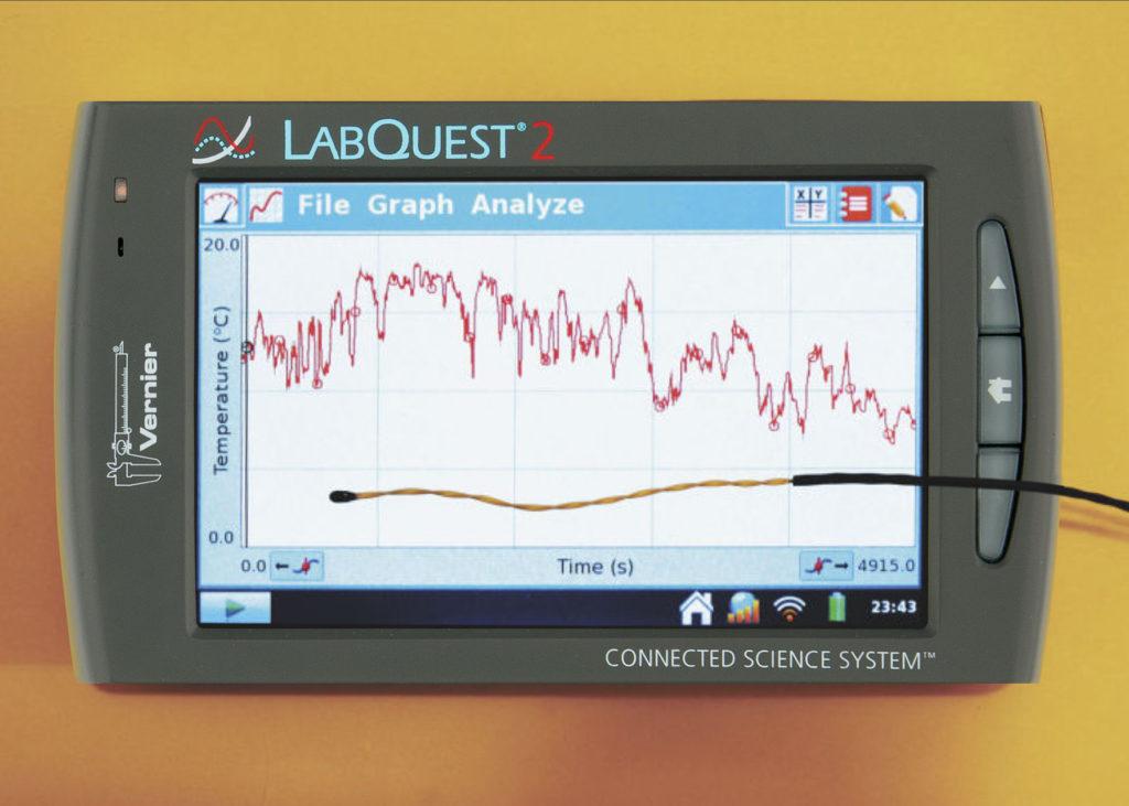
Forrest Mims III has done some interesting studies of “heat islands.” Heat islands are natural or man-made regions that store heat better than vegetation; examples include bare soil, rocks, and parking lots.
On a cool evening after a warm Texas day, Forrest drove around with a LabQuest 2 and our Surface Temperature Sensor. LabQuest 2 recorded latitude and longitude from its built-in GPS while collecting data from the temperature sensor.
As you can see from the screen, the temperature varies quite a lot. The great thing about this experiment is that when you get back from the trip, you can use Logger Pro to export the data to Google Maps™ and generate a color-coded path of your movement. The color on the graph indicates the temperature in that area.

